8/31/13


Went up Mt. Black today, with the idea of gathering beta for a potential Mt. Cowan link-up.  
Seems quite reasonable..?  Time and distance wise.  (3.5 hrs CTC for Black)

Pine Creek is getting along well, following last summer's inferno.


Also, had the fine privilege of joining The Good Doctor for another exploratory fishing mission in YNP.  He is crushing it as usual.  (moving like a cat, and fishing like an osprey)


8/29/13


We've had a nice pattern of afternoon thunderstorms/ and exquisite light lately.  

And there's fresh bear shit on the folf course and up Republic Creek trail- 
which obviously wouldn't-normally be anything to write about, 
but there has been very little bear activity around Cooke City this summer.  


8/24/13

Granite Peak- light and sorta fast


Eight hours and change.. CTC (sans ruck :)  Someone should go sub-seven.


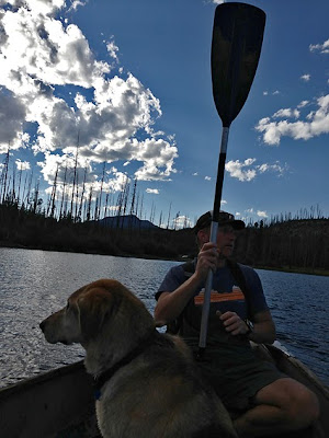
This fella was planning to take his cat up there.  


8/21/13

good to get away for a stint..


and Exciting to be back.  the Paradise/ Miner Complex (4 fires) and the Druid blaze are really doing a number on things.   As is a fresh fire just outside of Red Lodge (the Beartooth Pass is now closed).  I'm also told Sylvan Pass, the east  highway entrance to the Park, is closed due to a fire as well.
(que some Vonnegut.)


Easing back to town yesterday evening, I found a tent city in Gardiner (Cycle Greater Yellowstone), and was benighted while running in Pebble, under a big red moon :).  Twighlight Zone vibe in Cooke with all the smoke blowing this way..


8/15/13


The editor is temporarily out of town-  Imagine the Griswolds at Flathead Lake.. 

(good luck at the big softball tourney.)


8/10/13

the Druid Fire


There is a fresh wildfire burning in YNP.
Dubbed the the Druid Fire, it would almost be visible in this photo I shot today..
(cool to recall the Druid wolf pack, 37 deep in 2001)
Reports indicate the fire to be lightning caused, a day old, approx. 2 acres, and burning in heavy timber.
Hope she spares Slough, Pebble and the Soda Butte! 


The OHV's were out in droves today, back in Abundance Basin.


Big party for Deb last night, in the middle of the street.  (to your health!)
The B-Flips threw Bondo some honkey tonk.   There were hay bails in the highway.  Great time all around..

Earlier in the week:  we had a bear raid the High Country kitchen (ask Brandon about it), the cavalry came to town (the Park Service, FS, Sheriff ect.) to spray noxious weeds, Sue and John sent Republic Peak, the Powder Technician is thinking about restoring the Kersey Cabin, the wildflowers are waist high in upper Pebble (a trip to run flat-out through them), and we might just have a Silver Gate vs. Cooke City soccer match in the works..  Only time will tell. 


8/7/13

snorkel the Beartooths


Mapping the underground..  Herding trout. Dialing in underwater housing rigs..
Incredibly excited to be on the cusp of some A-grade, authentic adventure/ exploration.


Strawberries- from Cache Creek. 
(try and imagine the flavor)

8/5/13

local cartography


Nat Geo/ Trails Illustrated is now printing maps of the Beartooths..
(with both east and west-side options) 

Healthy competition for the Bozeman based Beartooth Publishing (who have crushed the regional map market the last five years).  However, Ralph's are still far-and-away my favorite.    

Ralph Saunders.  The man, the myth, the legend.

Specifically for three reason's:  the purple-dashed suggested off-trail routes, the fishery/ stocking info, and for all the spot elevations he has labeled (ie. lakes and sub-summits).   Mr. Saunders really put in his time in the field and it shows.  Forget mapmaking on the coat-tails of Google Earth (and including breweries in the key) if you reallly want to reference the best routes, go with a Rocky Mountain Survey option. 

found a new cave this week :)

In other news, Steamboat Geyser, YNP's biggest geyser, erupted for the first time in 8 years.  They say it sounded like a steam locomotive..

And the Gardiner RD recently worked out an easement/ access to the lower Black Canyon of the Yellowstone (up the Jardine road).  Great news for the locals, but still a grind if you are looking to walk or bike from town (she's steep).

Also, jogged over Sundance Pass yesterday, and noted that the NE couloir of Whitetail is LEAN and dirty.  With the top 50 feet appearing to be about two shoulder widths wide (and likely on the verge of alpine ice).  If you are into that sort of thing..